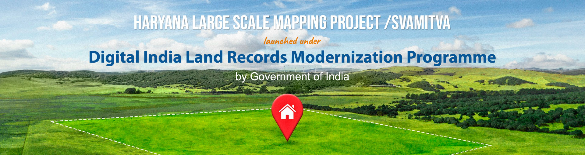
DILRMP
A primary objective of end-to-end computerization of land records and subsequently migration from existing presumptive titling system to conclusive titling system.
Know More
2823.16 sq.km
40995 sq.km
44212 sq.km.
4168
44212 sq.km
6278

A primary objective of end-to-end computerization of land records and subsequently migration from existing presumptive titling system to conclusive titling system.
Know More
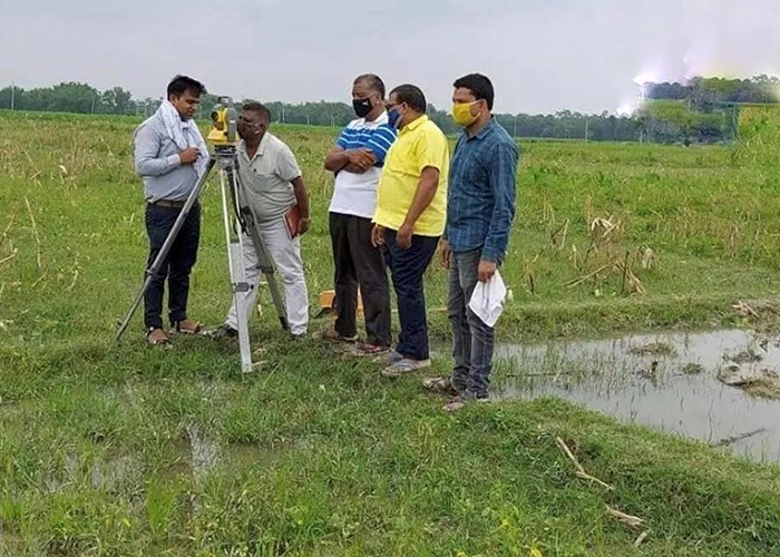
Aims to provide legal ownership records (property cards) to rural household owners using drone-based mapping.
Know More
These rights enable owners to use property as a financial asset, access bank loans, and reduce land disputes.
Know MoreBhuNaksha is a digital land mapping system launched by the Haryana Government to provide accurate cadastral maps. It helps in transparent land records, precise boundary identification, and easy access to spatial land data.
BhuNaksha, an initiative of the Haryana Government, enables digital geo-referenced land maps for accurate land record management. It supports transparency, planning, and efficient land administration.
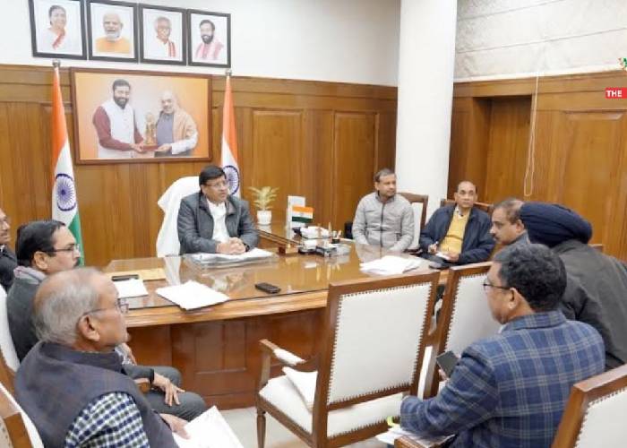
Sh. Nayab Singh
Hon'ble Chief Minister
Government of Haryana
Sh. Vipul Goel
Hon'ble Revenue Minister
Government of Haryana
Dr. Sumita Misra, IAS
ACS and FCR
Government of Haryana